

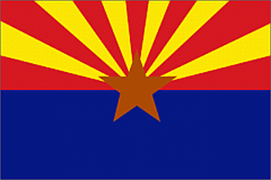
 Arizona
State Flag
|
The 13
rays of red and gold on the top half of the flag represent both the 13
original colonies of the Union, and the rays of the Western setting sun. Red and gold were also the colors carried by Coronado's Spanish expedition in search of the Seven Cities of Cibola in 1540. The bottom half of the flag has the same Liberty blue as the United States flag. Since Arizona was the largest producer of copper in the nation, a copper star was placed in the flag's center. Flag was adopted 1917. |
| Arizona
was the
last of the contiguous 48 states to enter the United States of America.
The date of admission was February 14, 1912 Arizona is the 6th largest state with 113,628 square miles Arizona is the 18th most populous state with 5,944,351 persons Arizona is approximately 400 miles long and 310 miles wide Arizona is the largest US landlocked state by population The Mean elevation of Arizona is 4,100 feet above sea level The Highest elevation is Humphreys Peak, 8 miles North of Flagstaff at 12,643 feet The lowest elevation is the Colorado River in the SW corner of the state below Parker Dam at 70 feet The elevation of Phoenix is approximately 1,050 feet The Hopi, direct descendants of the San Juan Anasazi, have occupied their lands in NE Arizona since 6,000 BC. Oraibi, located 90 miles NE of Flagstaff, has been continuously occupied since 500 AD making it the oldest documented settlement in the United States. Average annual rainfall exceeds 30" in the mountain areas to less than 7" in the Western deserts Monthly average temperatures range from a high of 105.0 degrees to a low of 38.1 degrees The highest temperature recorded in Arizona is 128F recorded on June 29, 1994 at Lake Havasu The lowest temperature recorded in Arizona is -40F recorded on January 7, 1971 at Hawley Lake. |
Arizona Highway Map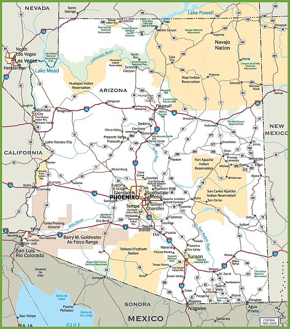 Click for a 900 x 1021 Image Click for a 1800 x 2041 Image Arizona Counties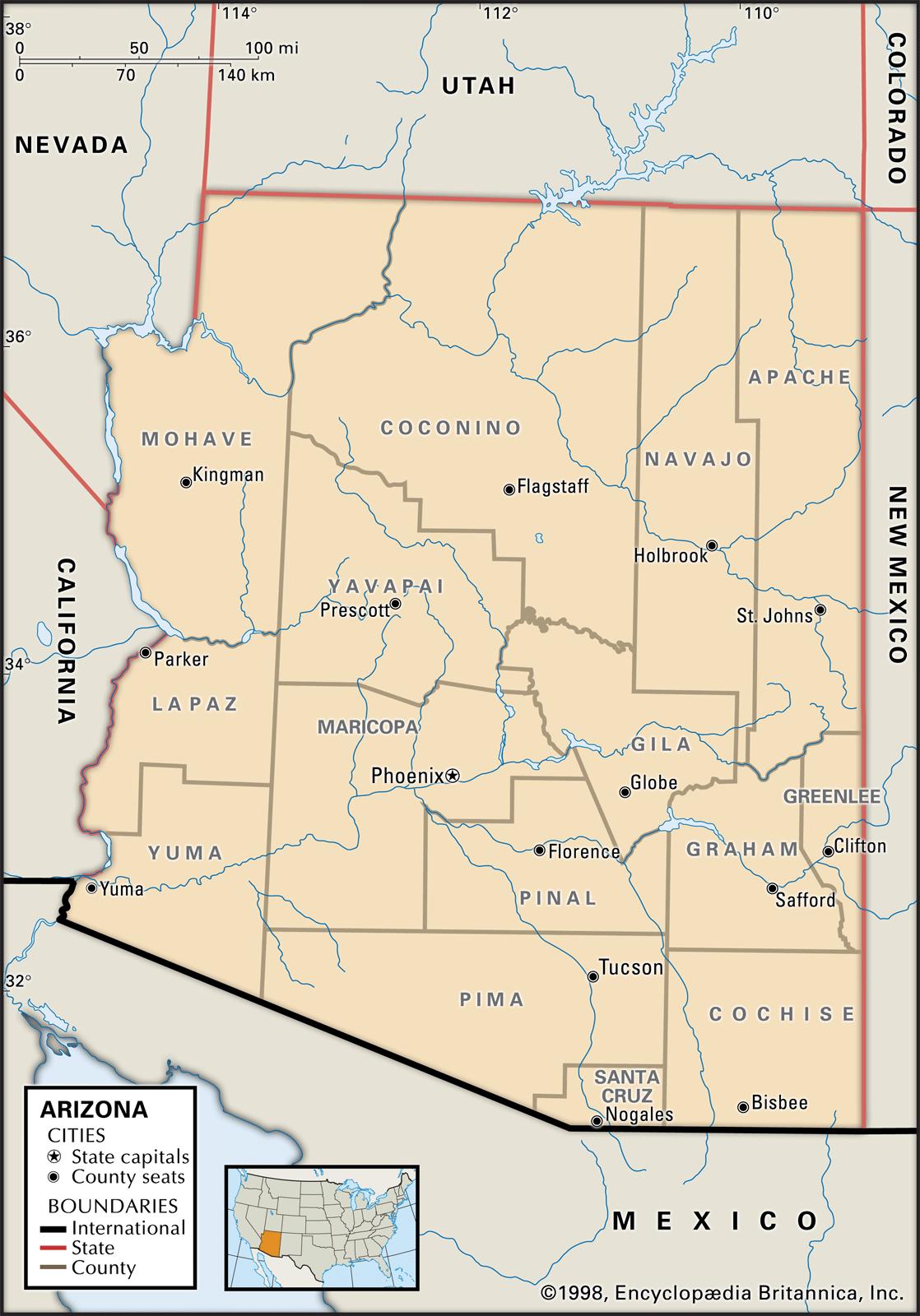 Arizona contains 15 counties with North Central Coconino being the largest at 18,608 square miles and South Central Santa Cruz at 1,238 square miles being the smallest. Coconino with 18,617 square miles is the largest county in Arizona and the 2nd largest county in the U.S.A. (The largest county is San Bernardino in SE California with 20,160 square miles) Maricopa county, home of Phoenix, and Arizona's 6th largest county is nonetheless larger than the following states: Rhode Island - 1,096 Delaware - 1,955 Connecticut - 4,845 Hawaii - 6,423 New Jersey - 7,468 Massachusetts - 7,826 New Hampshire - 8,995 Maricopa County - 9,226 Vermont - 9,267 Maryland - 9,836 |
Arizona Native American Tribal LandsClick
Image For Larger View
No U.S. state has more land set aside for Native American tribes than the state of Arizona. The state has 21 individual reservations, established as early as 1859 (the Gila River Indian Community created for the Pima and Maricopa tribes) to as late as 1984 (the Zuni Heaven Reservation, created for the Zuni tribe). All told, over a quarter of the land in the state, 27.1 percent, is federally protected reservation land, with several of the numerous reservations overlapping slightly into the neighboring states of California, Nevada, Utah, and New Mexico. Not only does Arizona have the most reserved land, but it also contains the largest single reservation in the United States, the Navajo Nation reserve. The reserve, established in 1868 and found in the northeast corner of the state and extending slightly into New Mexico and Utah, covers 27,413 square miles and has a population of 173,667 people. |
Arizona Counties and Population * |
||||
|
COUNTY |
SQ
MILES |
POPULATION |
SEAT |
POPULATION |
| Apache |
11,204 |
71,474 |
St. Johns |
3,483 |
| Cochise |
6,169 |
126,427 |
Bisbee |
5,208 |
| Coconino |
18,617 |
139,097 |
Flagstaff |
70,320 |
| Gila |
4,767 |
53,159 |
Globe |
7,396 |
| Graham |
4,629 |
37,666 | Safford |
9,683 |
| Greenlee |
1,847 |
9,529 |
Clifton |
3,685 |
| La Paz |
4,499 |
20,152 |
Parker |
3,046 |
| Maricopa |
9,203 |
4,167,947 |
Phoenix |
1,563,025 |
| Mohave |
13,311 |
204,737 |
Kingman |
28,912 |
| Navajo |
9,953 |
108,277 |
Holbrook |
5,019 |
| Pima |
9,168 |
1,010,025 |
Tucson |
531,641 |
| Pinal |
5,369 |
406,584 |
Florence |
31,110 |
| Santa Cruz |
1,237 |
46,461 |
Nogales |
20,252 |
| Yavapai |
8,123 |
222,255 |
Prescott |
41,899 |
| Yuma |
5,514 |
204,275 |
Yuma |
94,139 |
|
113,628 |
6,828,065 |
|||
LARGEST CITY |
RANK |
POPULATION |
|
PHOENIX METROPOLITAN AREA |
||
| |
CITY |
RANK |
POPULATION |
|||
| Phoenix |
1 |
1,563,025 | Phoenix |
1 |
1,563,025 |
|
| Tucson |
2 |
531,641 |
Mesa |
2 |
471,825 | |
| Mesa |
3 |
471,825 |
Chandler |
3 |
260,828 | |
| Chandler | 4 |
260,828 |
Gilbert | 4 |
247,542 |
|
| Gilbert | 5 |
247,542 |
Glendale | 5 |
240,126 | |
| Glendale | 6 |
240,126 | Scottsdale | 6 |
236,839 |
|
| Scottsdale | 7 |
236,839 |
Tempe |
7 |
175,826 |
|
| Tempe |
8 |
175,826 |
Peoria |
8 |
171,237 |
|
| Peoria |
9 |
171,237 | Surprise |
9 |
128,422 |
|
| Surprise | 10 |
128,422 |
Avondale |
10 |
80,684 |
|
| Yuma | 11 |
94,139 |
Goodyear |
11 |
79,003 |
|
| San
Tan Valley |
12 |
87,923 |
Buckeye |
12 |
62,138 |
|
| Avondale |
13 |
80,684 | Sun
City |
13 |
39,111 |
|
| Goodyear |
14 |
79,003 |
Apache Junction | 14 |
38,074 | |
| Flagstaff |
15 |
70,320 |
Queen Creek | 15 |
34,614 |
|
| Casas
Adobes |
16 |
68,862 |
El Mirage | 16 |
33,935 |
|
| Buckeye | 17 |
62,138 |
Sun CityWest | 17 |
24,338 |
|
| Lake Havasu City | 18 |
53,553 |
Fountain
Hills |
18 |
23,899 |
|
| Casa Grande | 19 |
51,460 | Paradise Valley | 19 |
13,922 | |
| Catalina
Foothills |
20 |
50,940 |
Gold
Canyon |
20 |
9,597 |
|
| Maricopa |
21 |
48,602 |
Tolleson
|
21 |
7,008 |
|
| Oro Valley | 22 |
43,565 |
Youngtown
|
22 |
6,613 |
|
| Sierra
Vista |
23 |
43,355 |
Guadalupe
|
23 |
6,177 |
|
| Prescott
Valley |
24 |
42,197 |
Litchfield
Park |
24 |
5,533 |
|
| Prescott |
25 |
41,899 |
Cave
Creek |
25 |
5,341 |
|
| Marana |
26 |
41,315 |
Carefree |
26 | 3,610 | |
| Bullhead
City |
27 |
39,445 |
||||
| Sun
City |
28 |
39,111 |
||||
| Apache
Junction |
29 |
38,074 |
||||
| Queen
Creek |
30 |
34,614 |
||||
|
3,974,282 |
||||||
Data for this
page were taken from United
States Census Bureau
Data for this page were taken from Arizona Demographics Data for this page were taken from 50 States * Population Estimates were provided by US Census Bureau for the year 2016 |
||||||
Pictures of Arizona(Click on image for larger view) |
|
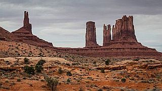 Monument Valley |
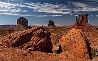 Monument Valley |
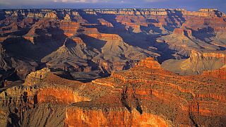 North Rim Grand Canyon |
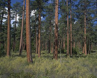 Ponderosa Pine Forest |
https://www.davidstuff.com/geo/arizona.htm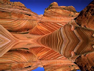 Paria Canyon Arizona |
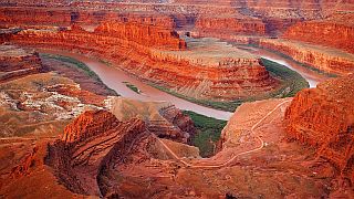 Paria Canyon Arizona |
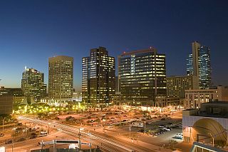 Phoenix Arizona |
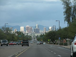 Central Avenue Phoenix |
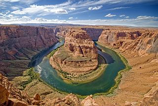 Horseshoe Bend Arizona |
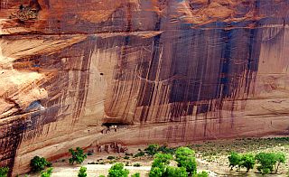 Canyon de Chelly Whitehouse |
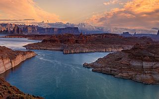 Glen Canyon Lake Powell |
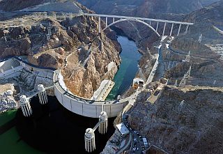 Hoover Dam |
Nation Visitors Since March 8, 2013